The Big Bend AK
Motorcyclist Map
Places Filter: Scenic Overlooks
View In Google Maps: https://maps.app.goo.gl/ugkSqrGxvyFWy12E8
You Tube: https://www.youtube.com/watch?v=LtAXGbgIx9o
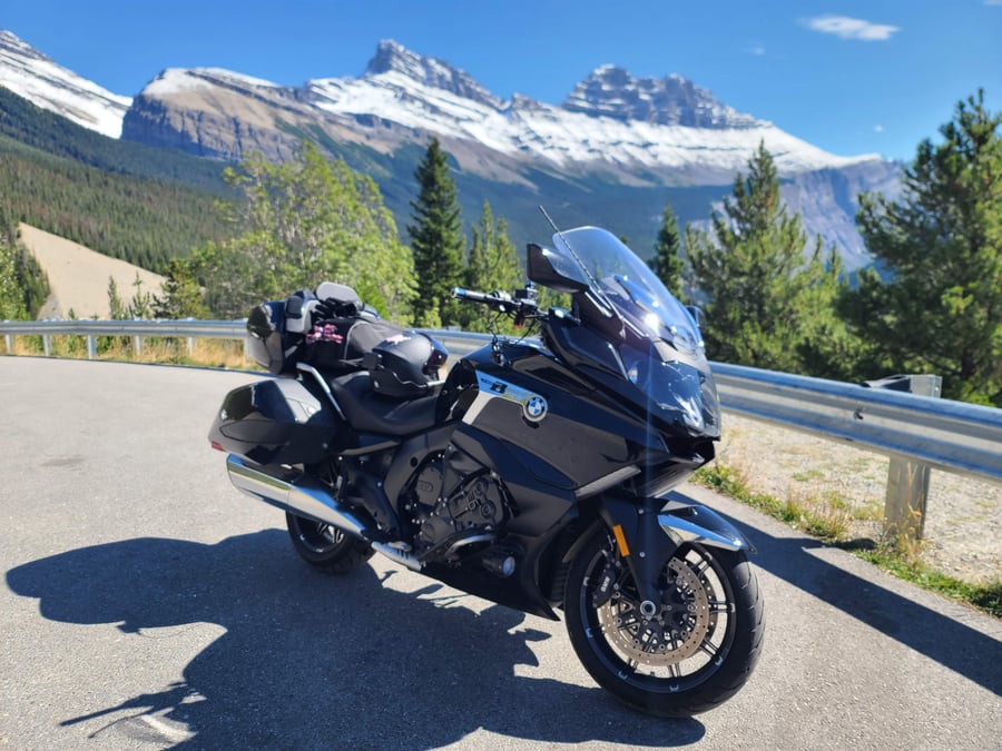
Description: The "Big Bend" is a renowned section along the Icefields Parkway in the Canadian Rockies, Alberta. This stretch of the highway is famous for its sweeping views of the Athabasca River as it flows through a dramatic U-shaped bend, thus earning its name, "Big Bend." Key features and information about the Big Bend on the Icefields Parkway include: Location: The Big Bend is situated approximately 21 kilometers (13 miles) south of the Columbia Icefield Visitor Centre, which is a significant landmark along the Icefields Parkway. Scenic Beauty: This section of the Parkway offers some of the most spectacular panoramic views in the Canadian Rockies. The rugged mountains, dense forests, and the meandering Athabasca River create a stunning backdrop. Photography Opportunities: The Big Bend is a popular spot for photographers due to its dramatic and picturesque landscape. The bend in the river, framed by towering peaks, provides a striking visual. Recreational Activities: In addition to sightseeing, visitors often engage in outdoor activities like hiking, picnicking, and wildlife viewing. There may also be designated viewpoints or pull-offs for better observation. Wildlife Viewing: The area around the Big Bend is known for its diverse wildlife. Visitors might have the chance to spot various species, including elk, deer, bears, and numerous bird species. Seasonal Considerations: Weather and road conditions can vary with the seasons, so it's advisable to check for any updates or specific regulations before planning your visit. Safety Precautions: As with any outdoor excursion, it's important to exercise caution and follow safety guidelines, especially when stopping along the highway.