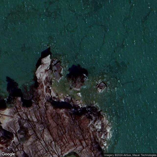
Turnip Rock MI
Motorcyclist Map
Places Filter: Landscapes
View In Google Maps: https://maps.app.goo.gl/rLxYjUiAGoA9P12K6
Description: Turnip Rock is a unique geological formation located off the shores of Lake Huron in Michigan. This iconic landmark is a small, rocky island shaped like a turnip, hence its name. Turnip Rock is known for its distinct appearance, with a narrow base and a bulbous top that has been sculpted by the erosive forces of wind, water, and ice over thousands of years. Access to Turnip Rock is primarily by water, and visitors can kayak or canoe to reach the island. The journey offers stunning views of the Lake Huron shoreline and surrounding natural scenery. Upon arrival, visitors can disembark and explore the rocky terrain around Turnip Rock, marveling at its unique shape and the intricate patterns carved into the stone by the elements. Due to its remote location and the challenges of accessing it, Turnip Rock remains a relatively untouched and pristine natural wonder, attracting adventurers and nature enthusiasts seeking a memorable outdoor experience in Michigan.