The Basin NH
Motorcyclist Map
Places Filter: Landscapes
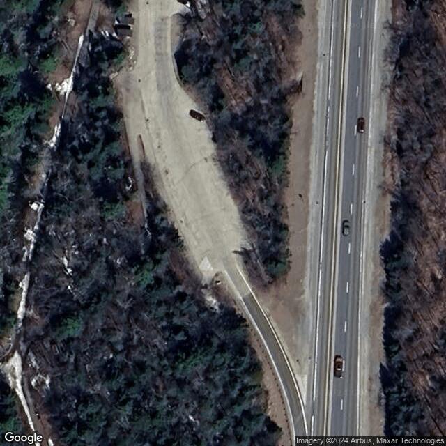
View In Google Maps: https://goo.gl/maps/uriCQSGKxh5SM5x6A
Description: The Basin in New Hampshire refers to a unique geological feature located within Franconia Notch State Park in the White Mountains region. It is a popular and easily accessible natural attraction known for its scenic beauty and fascinating geological history. The Basin is a large granite pothole formed by the erosive force of the Pemigewasset River over thousands of years. The swirling waters of the river have carved out a circular basin in the bedrock, creating a series of cascades, waterfalls, and pools. The basin itself measures about 20 feet in diameter and reaches a depth of up to 30 feet. Visitors to The Basin can access the site via a short, easy hiking trail that begins near the parking area off Interstate 93. The trail follows the riverbank through a lush forest, offering glimpses of the rushing waters and scenic views along the way. Upon reaching The Basin, visitors can admire the natural beauty of the pothole and explore the surrounding area, which features picnic areas and interpretive signs providing information about the geology and history of the site. The Basin is particularly popular during the summer months when visitors can cool off in the clear, cold waters of the river and enjoy the tranquil atmosphere of the forested surroundings. It is also a scenic spot for photography, with opportunities to capture the rushing water and unique rock formations.