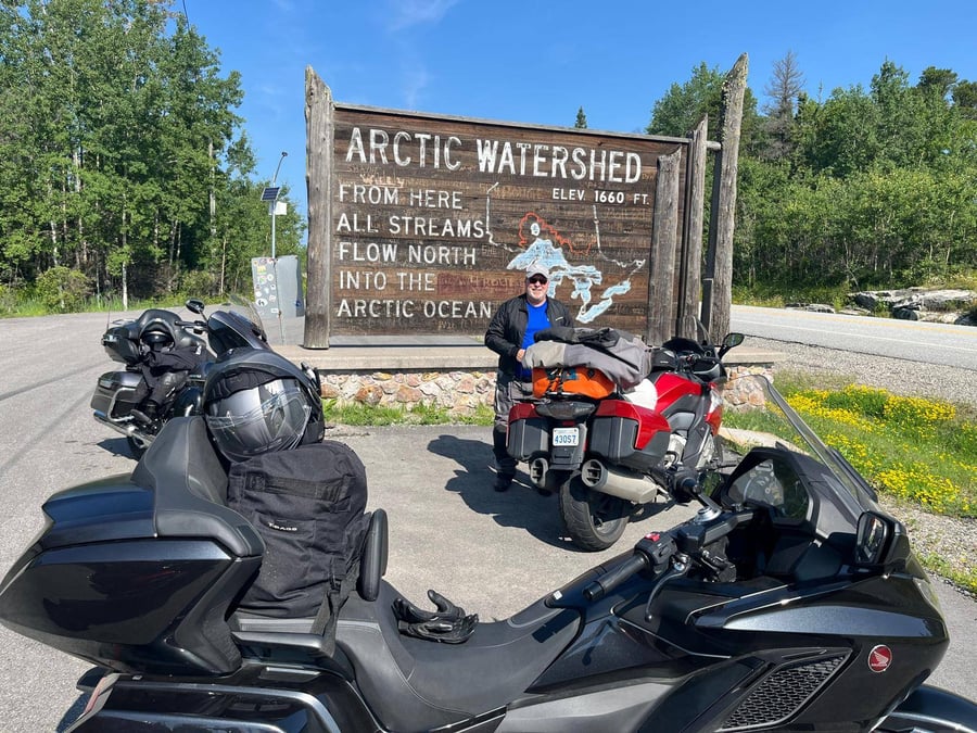
Height of Land | Arctic/Atlantic Watershed ON
Motorcyclist Map
Places Filter: Sign Boards | Geographical Points
View In Google Maps: https://goo.gl/maps/TgBh7sYN6WMpmZkLA
Description: Height of Land, also known as the Arctic/Atlantic Watershed, is a significant geographical feature located in Ontario, Canada. It marks the point where the watersheds of the Arctic Ocean and the Atlantic Ocean divide. Situated in a remote and pristine wilderness area, the Height of Land is a natural boundary that separates the drainage basins of two major oceans. Rainwater falling on one side of this ridge flows towards the Arctic Ocean, while rainwater on the other side flows towards the Atlantic Ocean. This makes it a fascinating and important point in terms of hydrology and geography. The area surrounding the Height of Land is often rugged and untouched, offering visitors a unique opportunity to experience the pristine beauty of Canada's wilderness. It is a popular destination for outdoor enthusiasts, hikers, and nature lovers who want to explore the diverse landscapes and unique ecosystems of the region. The Height of Land may not have any man-made structures or specific signage, but it is a significant landmark that represents the natural boundaries and interconnectedness of Canada's waterways. It holds cultural and historical significance as it has been used as a reference point by Indigenous peoples and early explorers in their journeys across the vast Canadian wilderness. Overall, the Height of Land or Arctic/Atlantic Watershed is a remarkable geographical feature that showcases the rich and diverse natural landscapes of Ontario, making it a memorable destination for those seeking to connect with the wonders of nature.