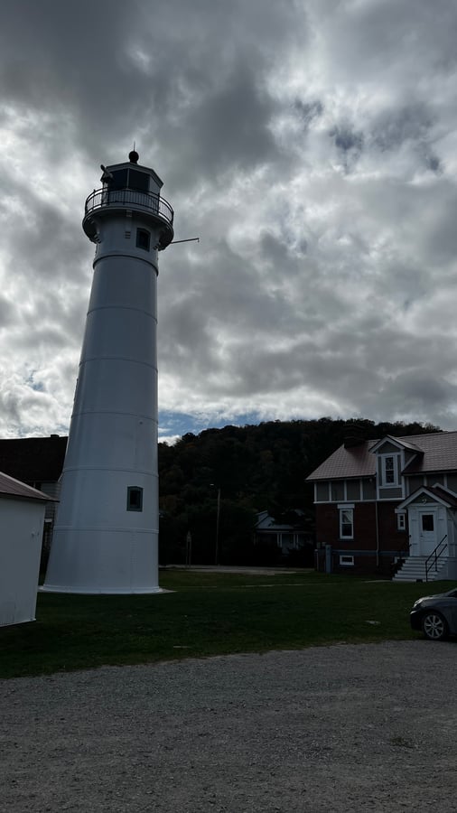
Munising Front Range Lighthouse MI
Motorcyclist Map
Places Filter: Lighthouses
View In Google Maps: https://maps.app.goo.gl/jbKDKyXwccdQ6F2B9
Description: Munising Range Lighthouse The eastern entrance to the harbor at Munising is bounded by the eastern lobe of Grand Island, known as the Thumb, and the mainland’s Sand Point, from which shoals extend for several hundred feet. During the summer of 1868, a wooden lighthouse, known as Grand Island Harbor Lighthouse, was built atop a stone foundation on the southeast tip of the Thumb to guide mariners through the East Channel.