BC 16 | Yellowhead Hwy | Highway of Tears
Motorcyclist Map
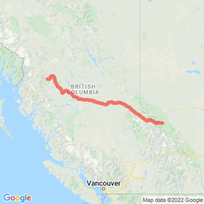
Route Filter: Backroads
View In Google Maps: https://maps.google.com/?q=53.9268057778183,-122.601162243133
You Tube: https://www.youtube.com/watch?v=HvanFIvpZ5U
Description: The Yellowhead Highway (French: Route Yellowhead) is a major interprovincial highway in Western Canada that runs from Winnipeg to Graham Island off the coast of British Columbia via Saskatoon and Edmonton. It stretches across the four western Canadian provinces of British Columbia, Alberta, Saskatchewan, and Manitoba and is part of the Trans-Canada Highway system and the larger National Highway System. [Wikipedia] The Highway of Tears is a 725-kilometre (450 mi) corridor of Highway 16 between Prince George and Prince Rupert, British Columbia, Canada, which has been the location of many missing and murdered Indigenous women (MMIW) beginning in 1970. [Wikipedia]