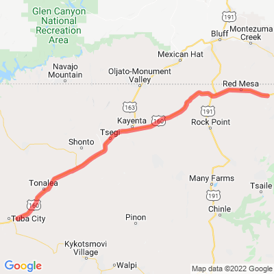
AZ 160
Motorcyclist Map
Route Filter: Backroads
View In Google Maps: https://maps.google.com/?q=36.5467696247721,-110.536105801779
You Tube: https://www.youtube.com/watch?v=gvZDlD4pyA0
Description: U.S. Route 160 travels west to east across the Navajo Nation and Northeast Arizona for 159.35 miles. US 160 begins at a junction with US 89 north of Cameron and exits the state into New Mexico southeast of the Four Corners National Monument. [Wikipedia]