AZ 60
Motorcyclist Map
Route Filter: Backroads
View In Google Maps: https://maps.google.com/?q=33.8112468462498,-110.465393935716
You Tube: https://www.youtube.com/watch?v=W0CWKrr0s_g
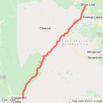
Description: U.S. Route 60 is an east–west United States Highway within Arizona. The highway runs for 369 miles from a junction with Interstate 10 near Quartzsite to the New Mexico State Line near Springerville. As it crosses the state, US 60 overlaps at various points: I-17, I-10, SR 77, SR 260, US 191, and US 180. [Wikipedia]