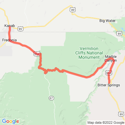
AZ 89A | Marble Canyon
Motorcyclist Map
Route Filter: Backroads
View In Google Maps: https://maps.google.com/?q=36.7138018433644,-112.214825322669
You Tube: https://www.youtube.com/watch?v=HSzHLGrAWkE
Description: State Route 89A is an 83.85-mile state highway that runs from Prescott north to Flagstaff in the U.S. state of Arizona. The highway begins at SR 89 in Yavapai County and heads northward from Prescott, entering Jerome. From Jerome, the route then heads to Cottonwood and Sedona. [Wikipedia]