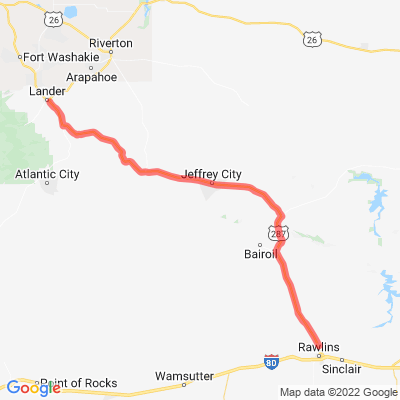
WY 287
Motorcyclist Map
Route Filter: Backroads
View In Google Maps: https://maps.google.com/?q=42.759193,-108.385457
Description: U.S. Route 287 is a north–south United States highway. At 1,791 miles long, it is the second longest three-digit U.S. route. It serves as the major truck route between Fort Worth and Amarillo, Texas, and between Fort Collins, Colorado, and Laramie, Wyoming. Wikipedia