חניון עליון to Mount Bental/Tal Al-Gharam
Motorcyclist Map
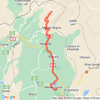
Route Suggested By: Helio Diamant - https://diamant.org.il/blog
View In Google Maps: https://maps.app.goo.gl/yGegTZH1k2F9ixyn9
GPX Download: https://drive.google.com/file/d/1t78oqXq0E0rI2VQA2jQZmlrtTK4LL9fy/view?usp=sharing
Description: Mount Bental is (or was in the past) a strategic point that controls all the Golan area - from there you can see all movement in all the roads around. In the 1973 Yom Kippur War, the Syrians attacked the area with between 1,000 and 1,500 tanks, while Israel had only 160 tanks there. Despite the number difference, the Israelis managed to destroy nine hundred Syrian tanks, time in which the Syrians panicked, turned back, and returned to Syrian territory. By the time they turned back, only 7 Israeli tanks were left operational. Today, in remembrance of this bloody battle, the valley between Bental and the Hermon is called Valley of the Tears. Nowadays, Mount Bental has become a touristic attraction, where at its top people can find the trenches from the time of the battles, signs of distances to different cities of the region, and a nice coffee house called Coffee Anan (a parody mix of the name of the former UN Secretary-General Kofi Annan and the meaning in Hebrew of the name, which means "Coffee at the Clouds"). Unfortunately, Coffee Anan has closed its doors during the last months of the war started by Hamas on Oct 7th, 2024, and nobody knows if it will reopen when the war is over.
Admin Country: Israel